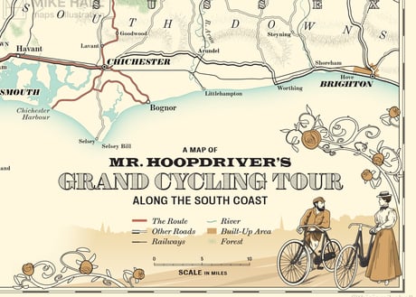
The Quiet Zone
Client: HarperCollins USA | January-April 2021 | Adobe Illustrator
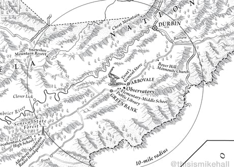
This illustrated map shows Pocahontas County in West Virginia, United States, the location of the Green Bank Observatory within the National Radio Quiet Zone (NRQZ), the subject of Stephen Kurczy's book The Quiet Zone: Unraveling the Mystery of a Town Suspended in Silence (HarperCollins, 2022). The NRQZ is a 13,000 sq mile area in the Appalachian mountains in which the use of radio transmissions, cell phones, WiFi routers and other electronic devices are heavily restricted in order to facilitate scientific research and the gathering of military intelligence.
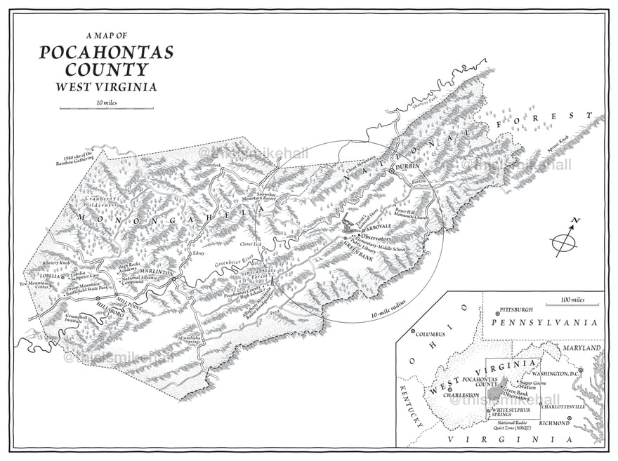
The map of Pocahontas County in full, with a map showing the wider area inset at the bottom corner.
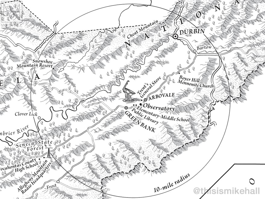
The location of the Green Bank Observatory and the surrounding 10-mile radius within which the severest restrictions apply.
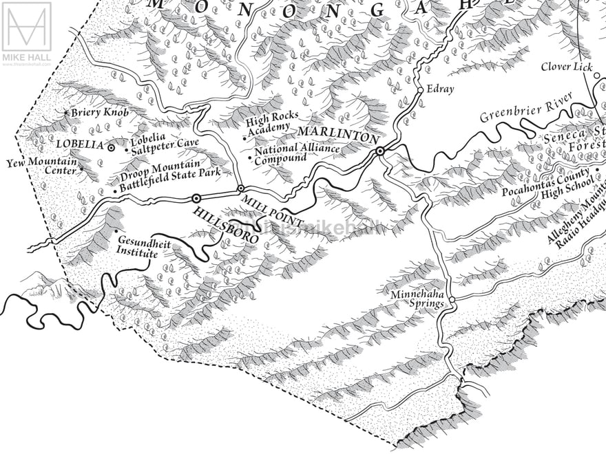
Detail of the southern section of the map. Other key locations mentioned in the book are highlighted.
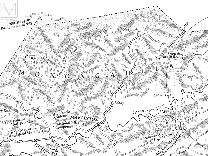
Detail of the mountainous forest that characterises this area.
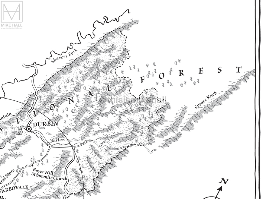
Detail of the northern section of the map, extending to Spruce Knob ridge.
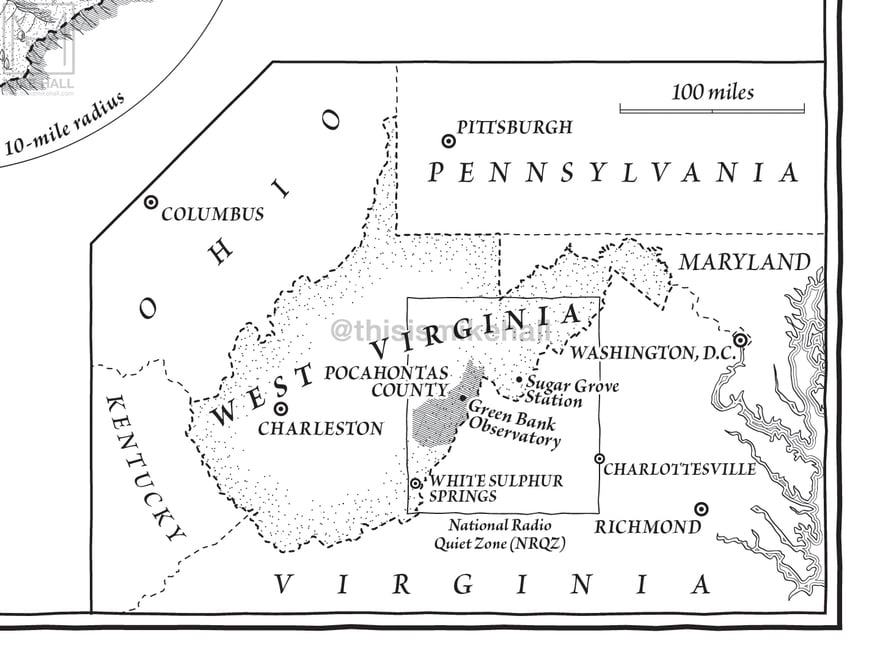
Detail of the inset map, which shows the NRQZ and Pocahontas County within the context of surrounding states and cities.
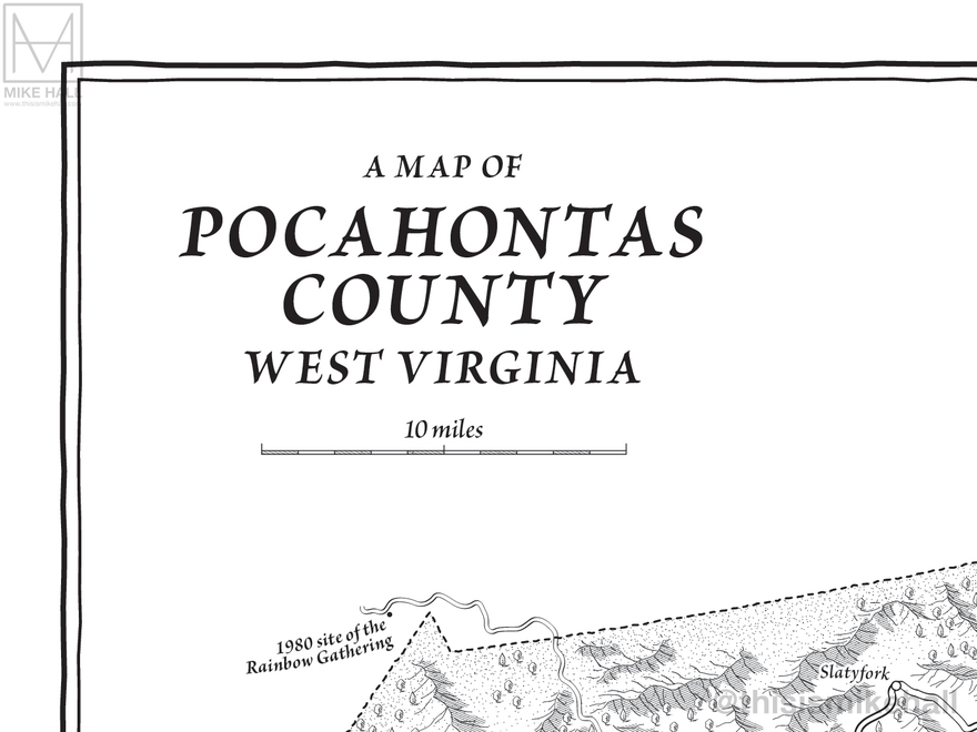
Detail of the map title and scale bar. The typeface Brioso Pro was used to fit the map's hand-drawn look.