Vintage Style Railway Map Series
Self-initiated project | 2019-2022 | Adobe Illustrator
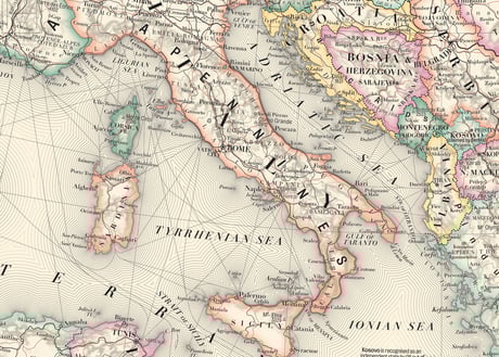
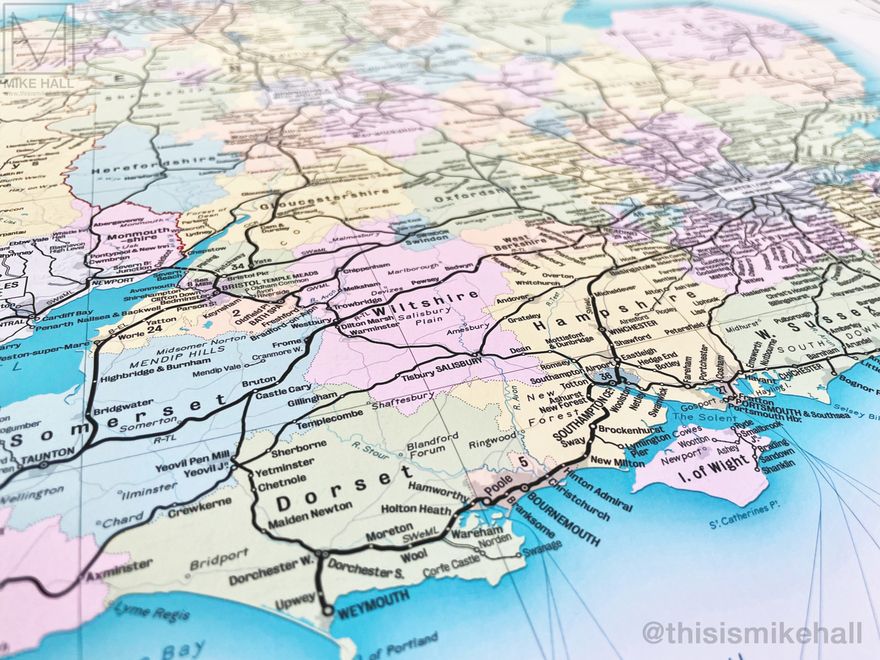
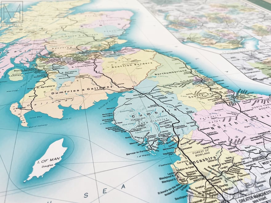
These detailed maps of the modern-day railway networks in Great Britain, Greater London and the Iberian Peninsula take their inspiration from vintage railway maps of the late 19th and early 20th centuries. All railways are represented by solid black lines, with stations marked with dots or circles; larger circles generally represent larger cities or important interchanges.
The designs are available as prints from my online store: shop.thisismikehall.com/collections/railway-maps
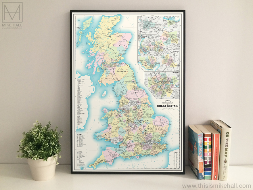
Framed print of the Railway Map of Great Britain.
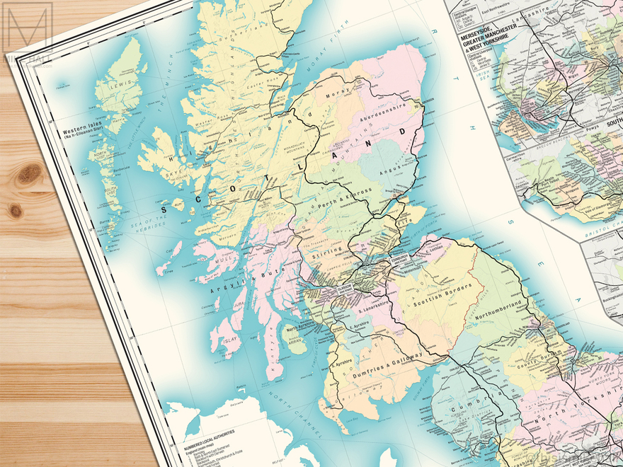
The map shows the whole present-day network in mainland Britain, including intercity, regional and commuter lines, heritage railways and high-speed lines under construction (as of 2022).
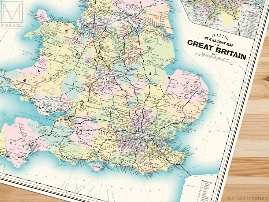
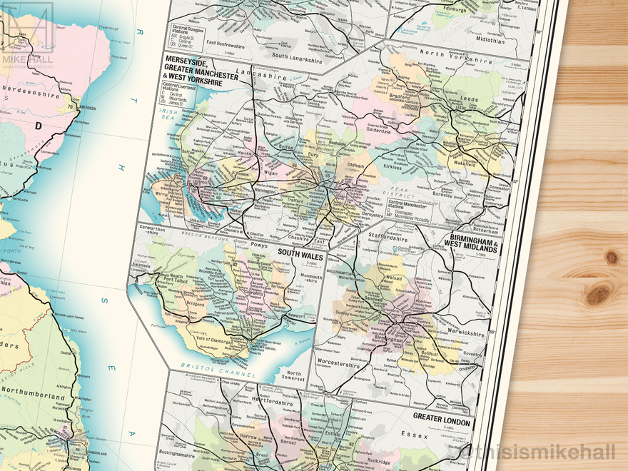
The design includes enlarged details of eight metropolitan areas: Glasgow, Edinburgh, Merseyside, Greater Manchester, West Yorkshire, South Wales, Birmingham and Greater London.

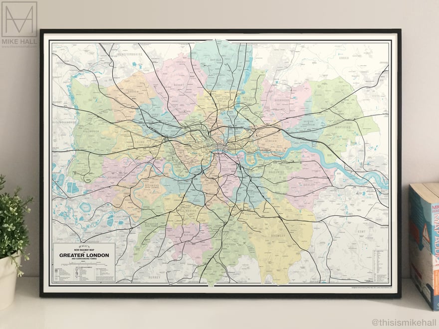
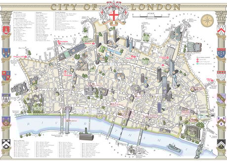
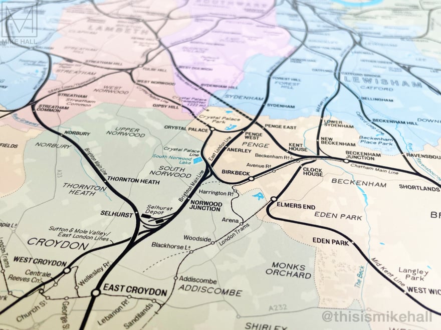
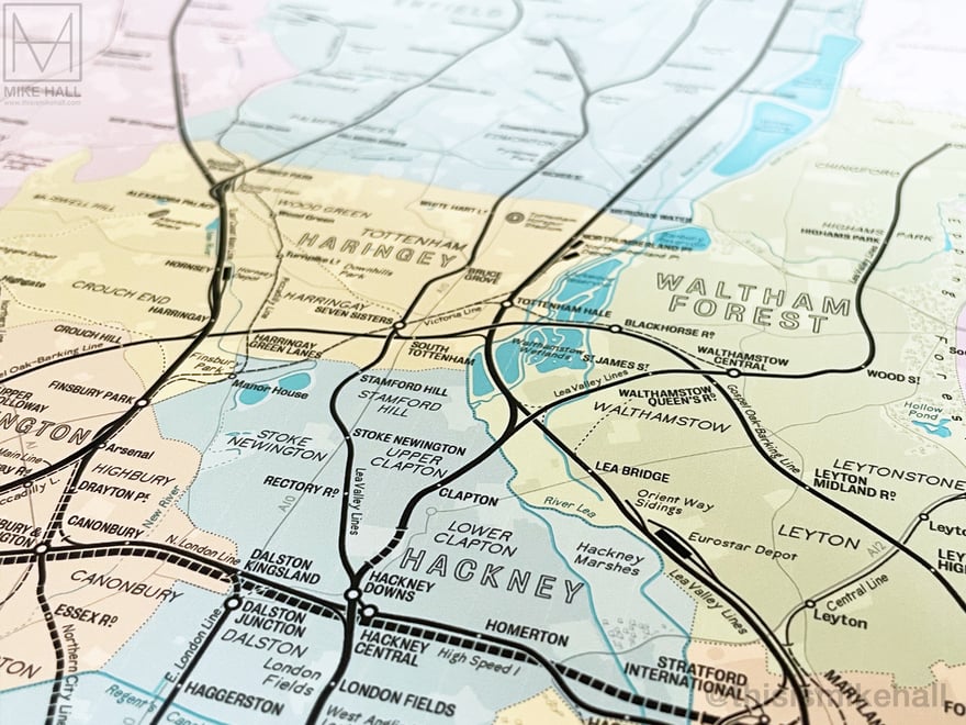
Framed print of the Railway Map of Greater London.
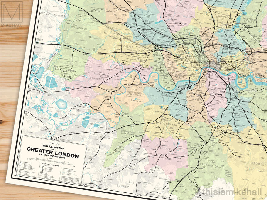
This map displays the courses of all surface and subsurface lines and the locations of all stations as of 2022.
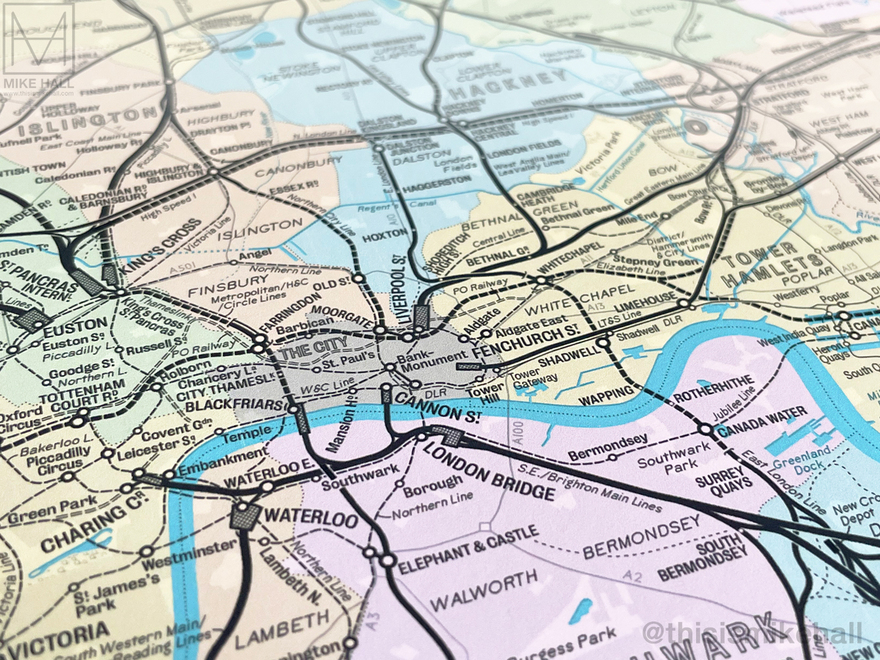
Detail of central London and the main line termini.
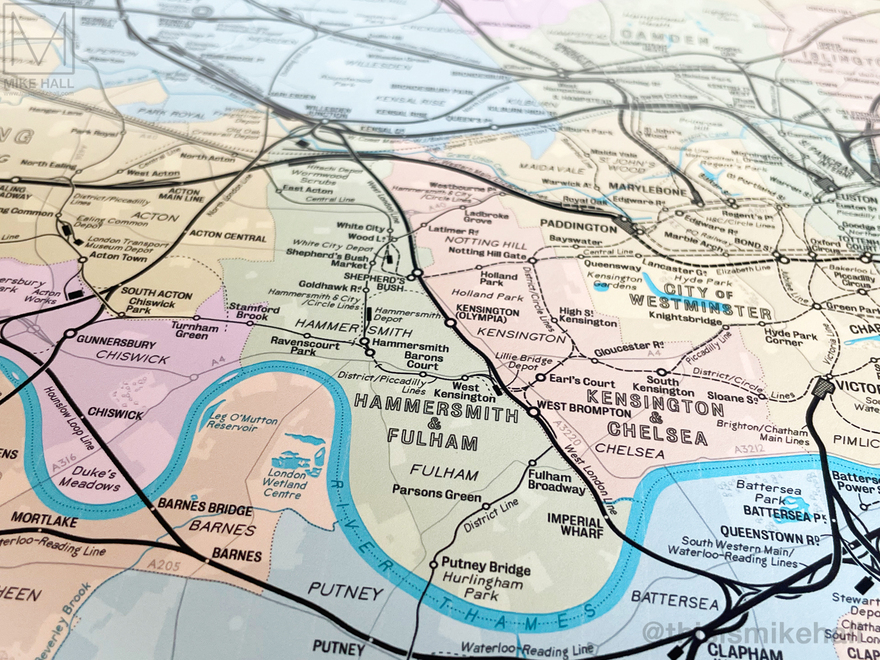
Infrastructural details such as maintenance depots, tunnels and junctions are also shown, as are new lines under construction as of 2022.
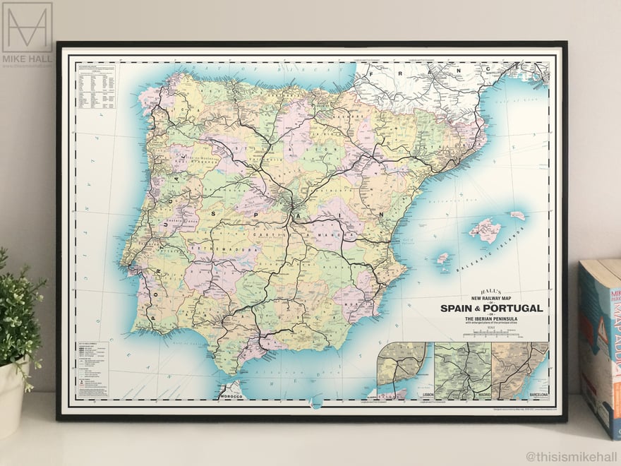
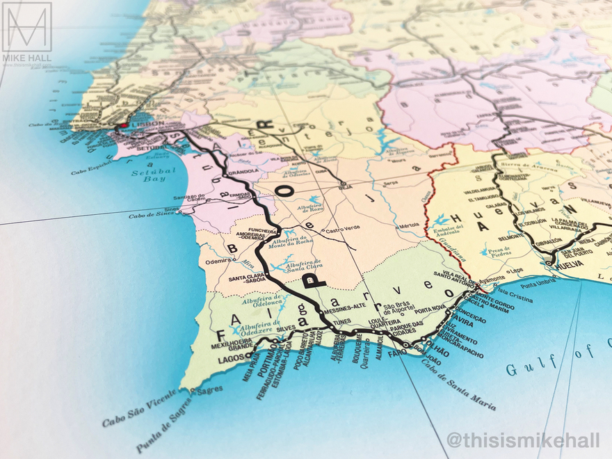
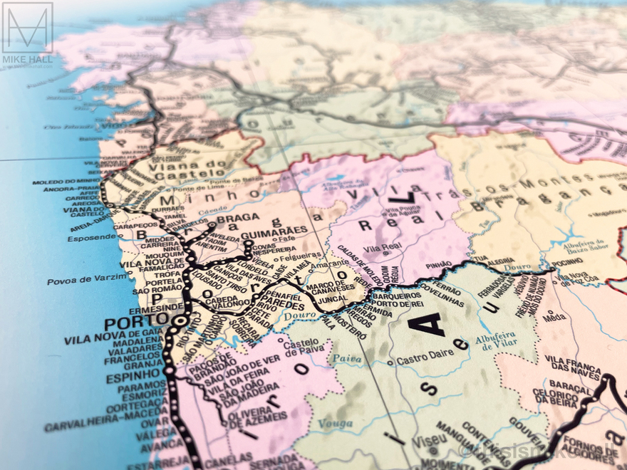
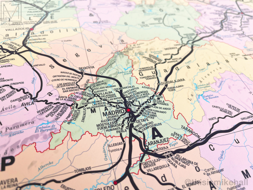
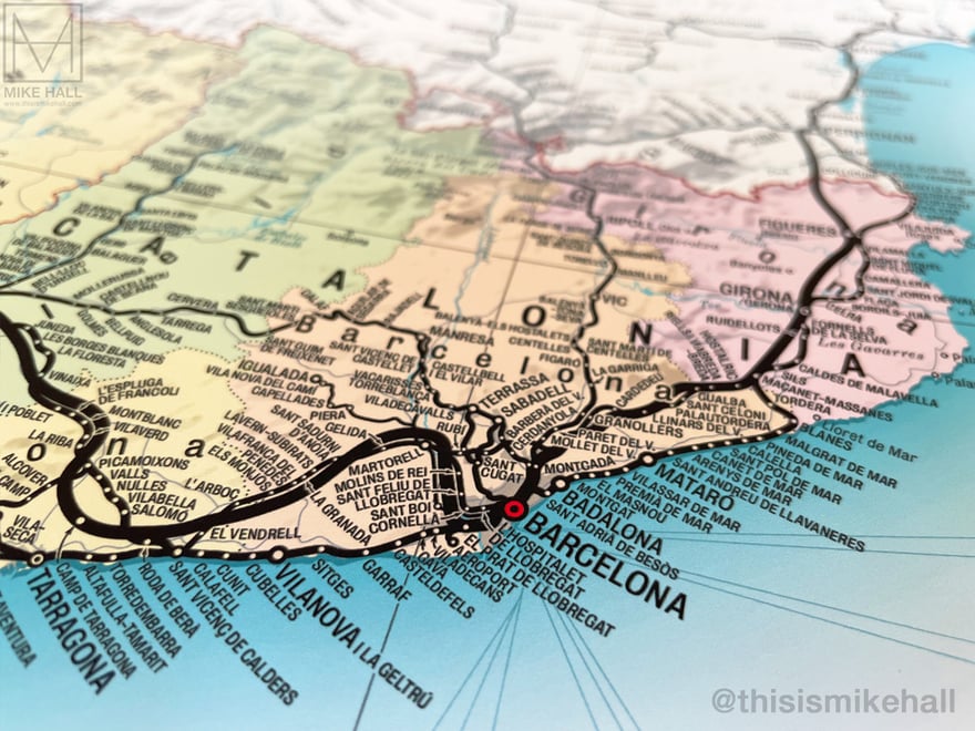
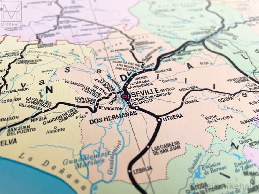
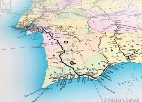
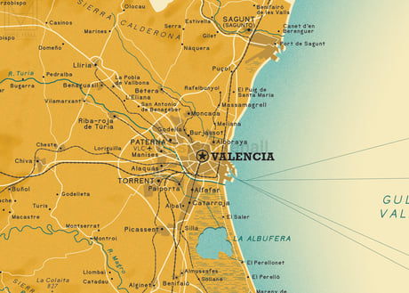
Framed print of the Railway Map of Spain & Portugal.
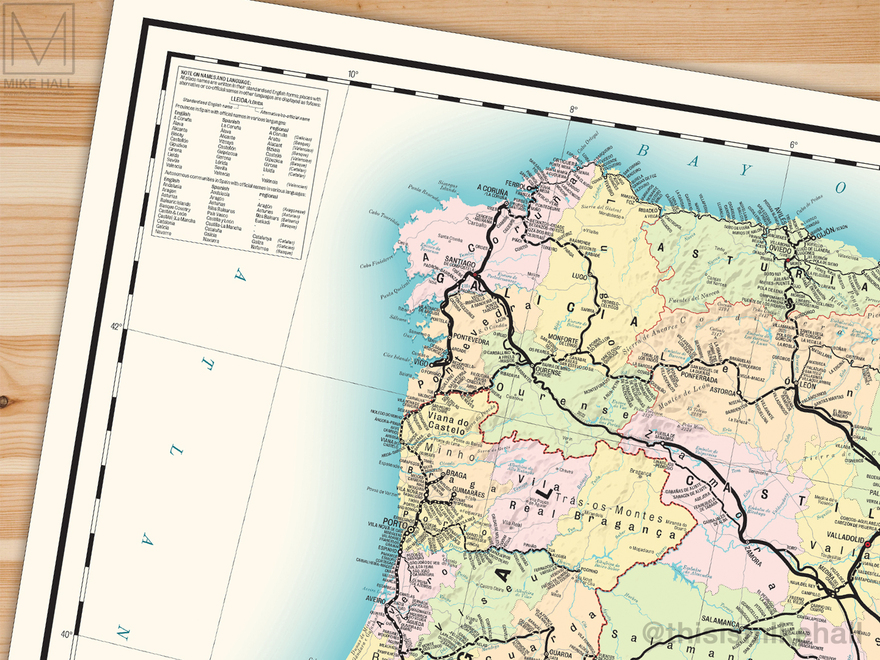
This map displays all state-owned railways lines within Spain and Portugal that are either open to passenger and freight traffic, including the entire Renfe and Comboios networks and smaller regional networks, and new lines under construction as of 2022.
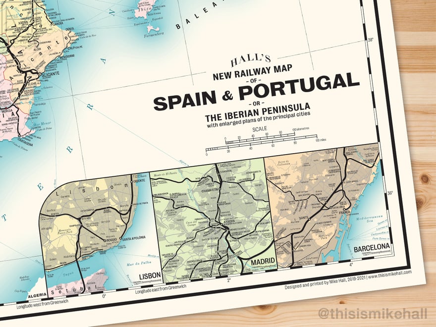
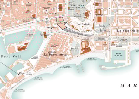
This design includes enlarged details of the three main cities, Lisbon, Madrid and Barcelona.
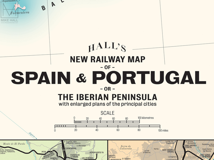
Detail of the title card and scale bar. The HALL'S logo featured in all of these designs is an homage to that used by G.W. Bacon & Co on its maps in the early 20th century.