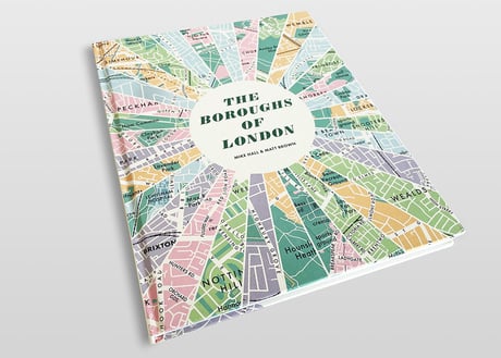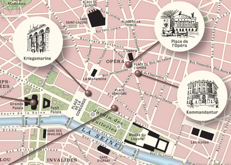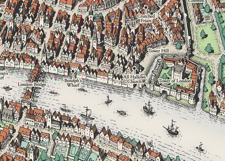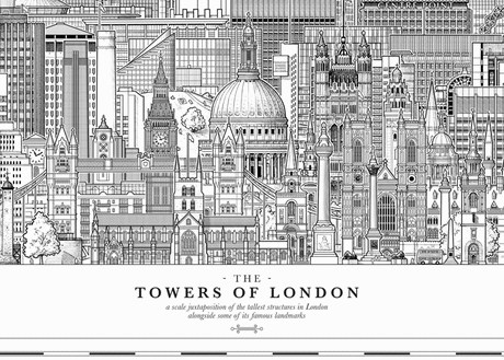
Illustrated maps of London
Self initiated project | 2011-2016 | Adobe Photoshop
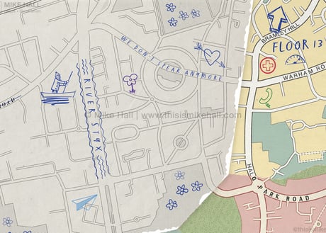
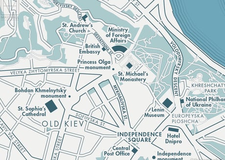
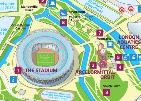
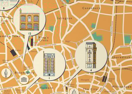
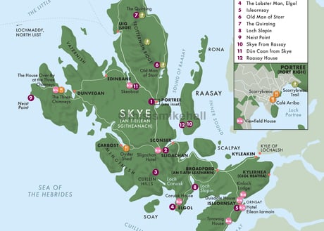
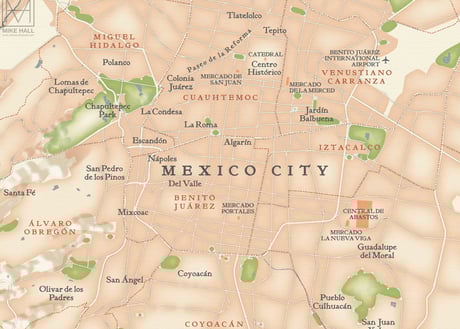
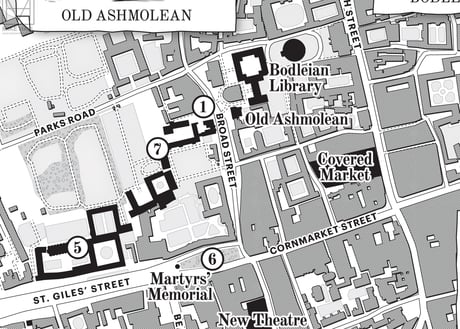
This collection of decorative illustrated maps of London neighbourhoods and boroughs took their inspiration from by antique maps. Each map took roughly 4-5 weeks to complete and were drawn
entirely by hand and coloured digitally. The project was put on hiatus in summer 2016 as I began to explore other ways of creating maps.
Prints of these maps are available to purchase through my online store.
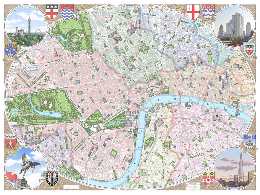
Central London (2014)
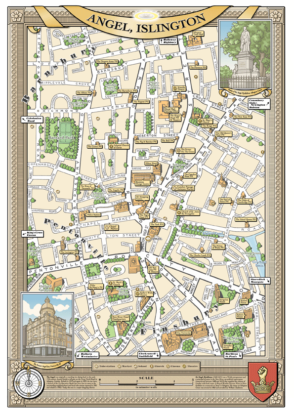
Angel Islington, London N1 (2012)
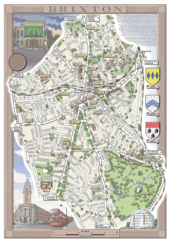
Brixton, London SW2/SW8 (2012)

London Borough of Camden (2011)

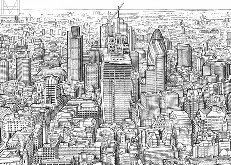
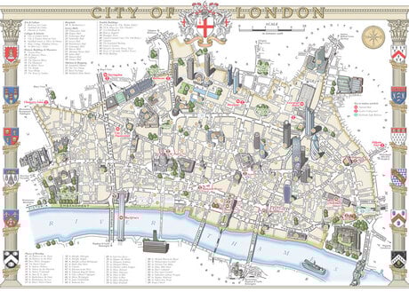
The City of London (2014)
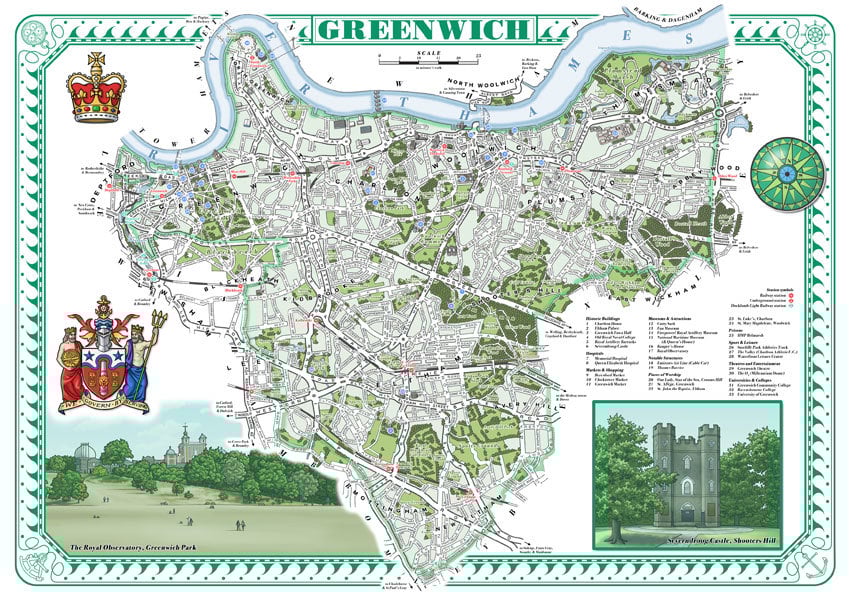
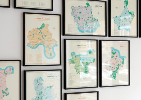
Royal Borough of Greenwich (2012)
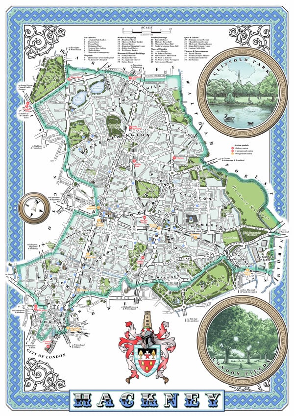
London Borough of Hackney (2011)
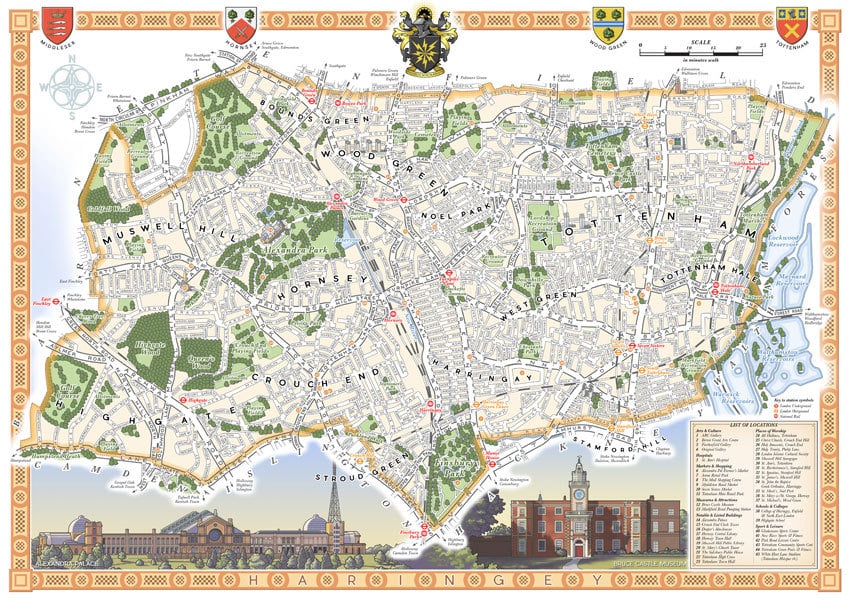
London Borough of Haringey (2015)
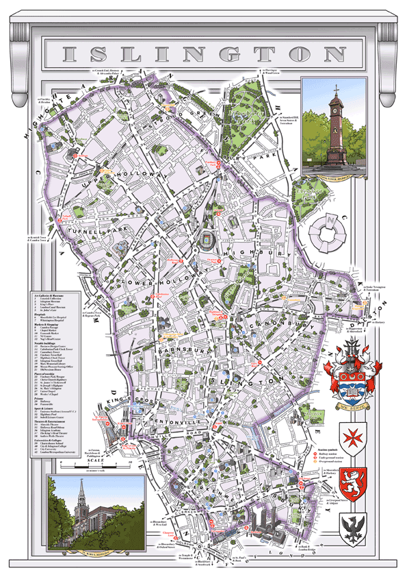
London Borough of Islington (2011)

Royal Borough of Kensington & Chelsea (2013)
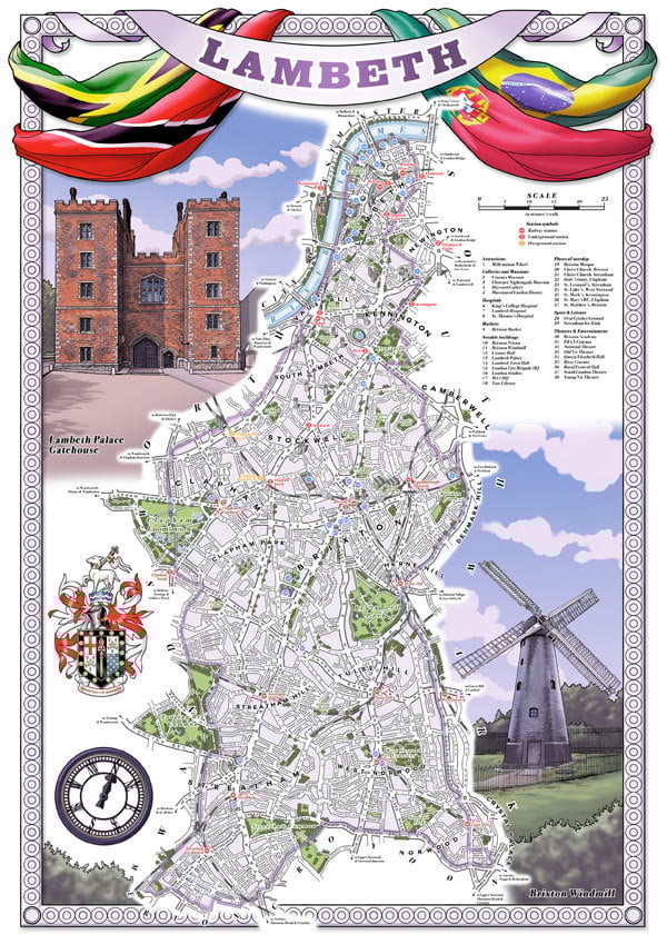
London Borough of Lambeth (2011)

London Borough of Lewisham (2011)
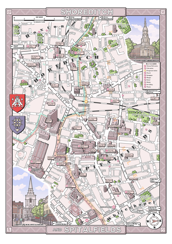
Shoreditch & Spitalfields, London E1/EC3 (2012)

London Borough of Southwark (2013)

Stoke Newington, London N16 (2012)
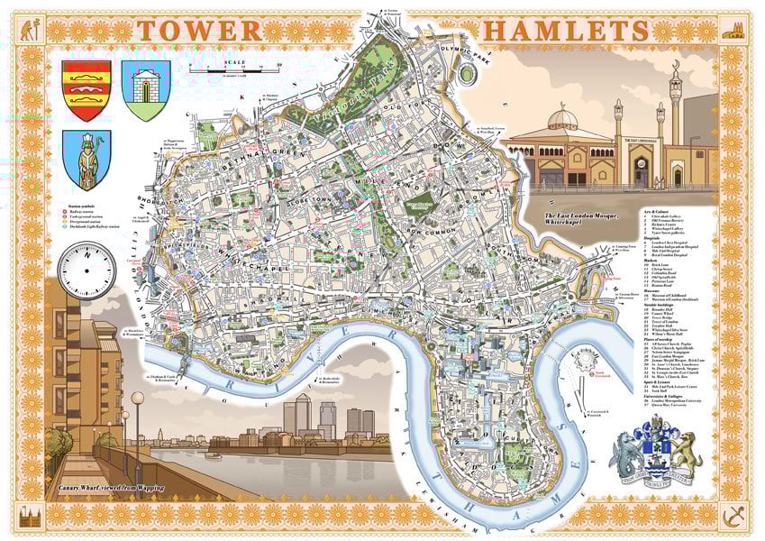
London Borough of Tower Hamlets (2011)
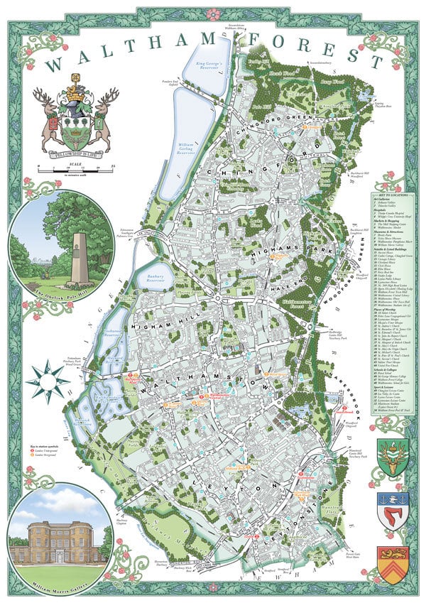
Waltham Forest (2014)

City of Westminster (2013)